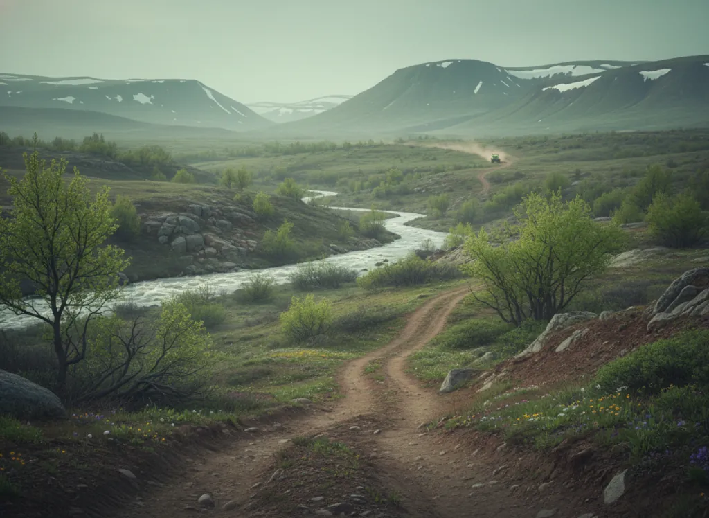
The Rogue River-Siskiyou National Forest encompasses 1.8 million acres of southwestern Oregon's most botanically and geologically complex terrain: Jackson, Josephine, Curry, and Klamath counties at the convergence of the Cascade Range, the Klamath Mountains, the Coast Range, and the Great Basin, producing a biodiversity hotspot recognized as one of the most botanically rich temperate regions in North America. The OHV trail network operates on designated routes across the forest's four ranger districts, with the Siskiyou Mountains, the Sky Lakes Wilderness margins, and the upper Rogue River country providing the primary riding terrain accessible from the Medford, Grants Pass, and Ashland gateways on I-5. The Siskiyou Mountains, the dominant ridgeline visible from Ashland and the namesake of the forest, are ancient Klamath Mountains terrain: peridotite and serpentinite ultramafic rocks producing the distinctive reddish, nutrient-poor soils that support the unique Siskiyou endemic plant communities, including Port Orford cedar, Brewer spruce, and the scattered pines and oaks that grow on the open serpentine barrens. OHV riders access the Siskiyou summit country via forest roads climbing from the Jacksonville and Applegate areas west of Medford, with the ridge-top routes providing views across the Rogue Valley to Mount McLoughlin and the Sky Lakes Cascade country to the east. The upper Rogue River corridor east of Medford via OR-62 provides access to the Cascade side of the forest, with Butte Falls and the Prospect area serving as staging hubs for the forest road network in the higher Cascade terrain. Oregon OHV registration required. Siskiyou Mountains Ranger District in Medford (541-858-2200) manages current trail access.
Hours
Accessible approximately May through October; Siskiyou summit routes close under snow. No day-use fee. Oregon OHV registration required on designated routes.
Phone
541-858-2200Trip openings, seasonal updates, and the occasional deal, straight to your inbox.
FAQ
Everything you need to know before you get started.
Have a question, or ready to book? Reach out and we’ll get right back to you.